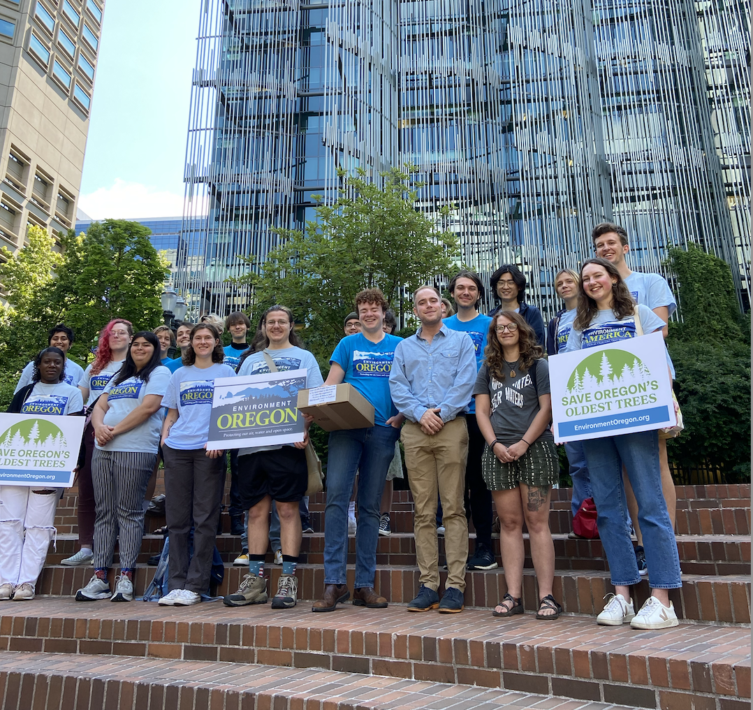
Protect the Owyhee Canyonlands

Gain a deeper understanding of the dynamic and ever-changing nature of the region’s geology
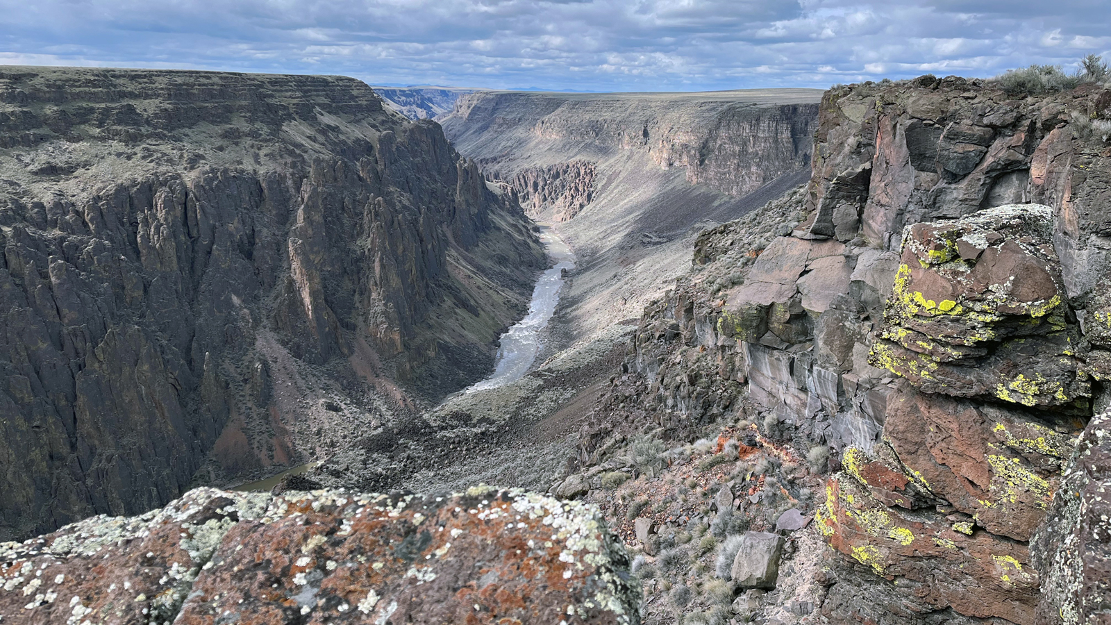
Oregon’s Owyhee Canyonlands stand as a testament to the immense geological forces that have shaped our planet over billions of years. Spanning across the southeastern corner of the state, this rugged,remote and exposed landscape reveals a tapestry of ancient rock formations, colorful canyons, and unique geological features. Let’s embark on an exploration of the geology that underpins this mesmerizing region.
The geological story of the Owyhee Canyonlands begins nearly 16 million years ago during the Miocene Epoch, when volcanic activity driven by a deep-seated mantle plume–much like the one driving volcanism at Yellowstone National Park– began sculpting the landscape we see today. The region is predominantly composed of volcanic basalt, rhyolite lava domes, volcanic ash beds, and sections of sedimentary rock, all of which offer unique and valuable insights into the area’s tumultuous geological history.
One hike, raft trip, or drive through one of these canyons reveals soft sedimentary rocks, such as sandstone and shale erode more easily, while the resistant basalt and rhyolite layers often form the towering cliffs that line the canyon walls. These silent canyons expose its volcanic legacy.
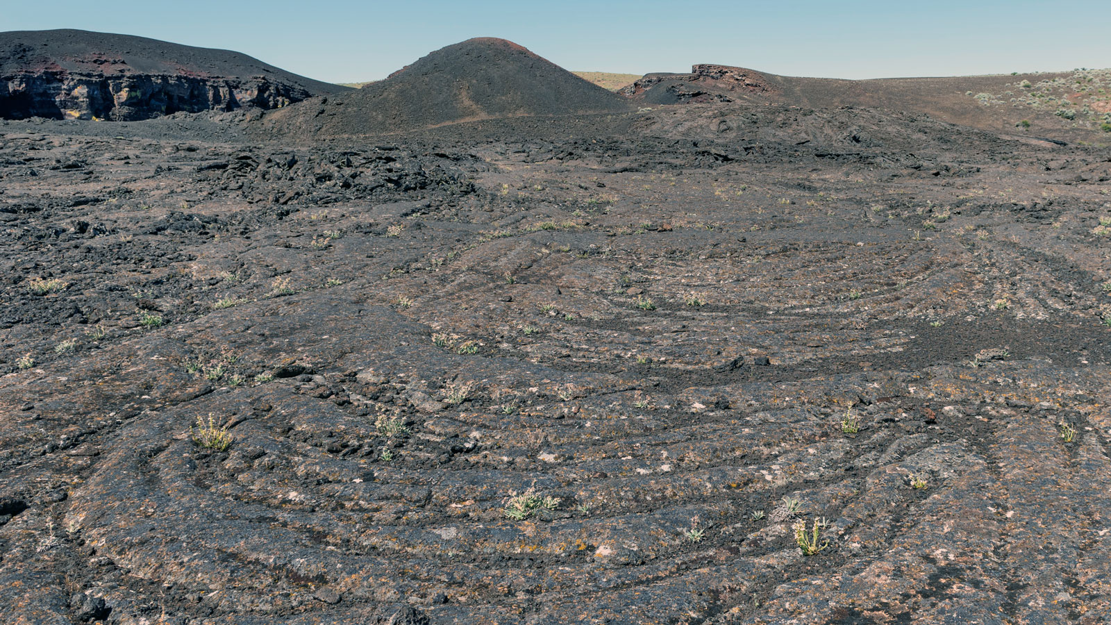
Extensive lava flows, remnants of ancient volcanic eruptions, have left behind vast stretches of basalt rock, creating the rugged terrain that characterizes the area. These lava flows originated from volcanic vents and fissures, spreading across the landscape and cooling to form massive layers of basalt. But these are just the proverbial “icing on the cake” and are some of the younger formations. At the depths of the canyons are exposures of gigantic rhyolite lava domes that erupted from the earth as incandescent toothpaste-consistency blobs that dotted the landscape. At places like the Owyhee Overlook, you can observe the flat-lying basalt caps resting on top of the underlying dome-shaped rhyolite.
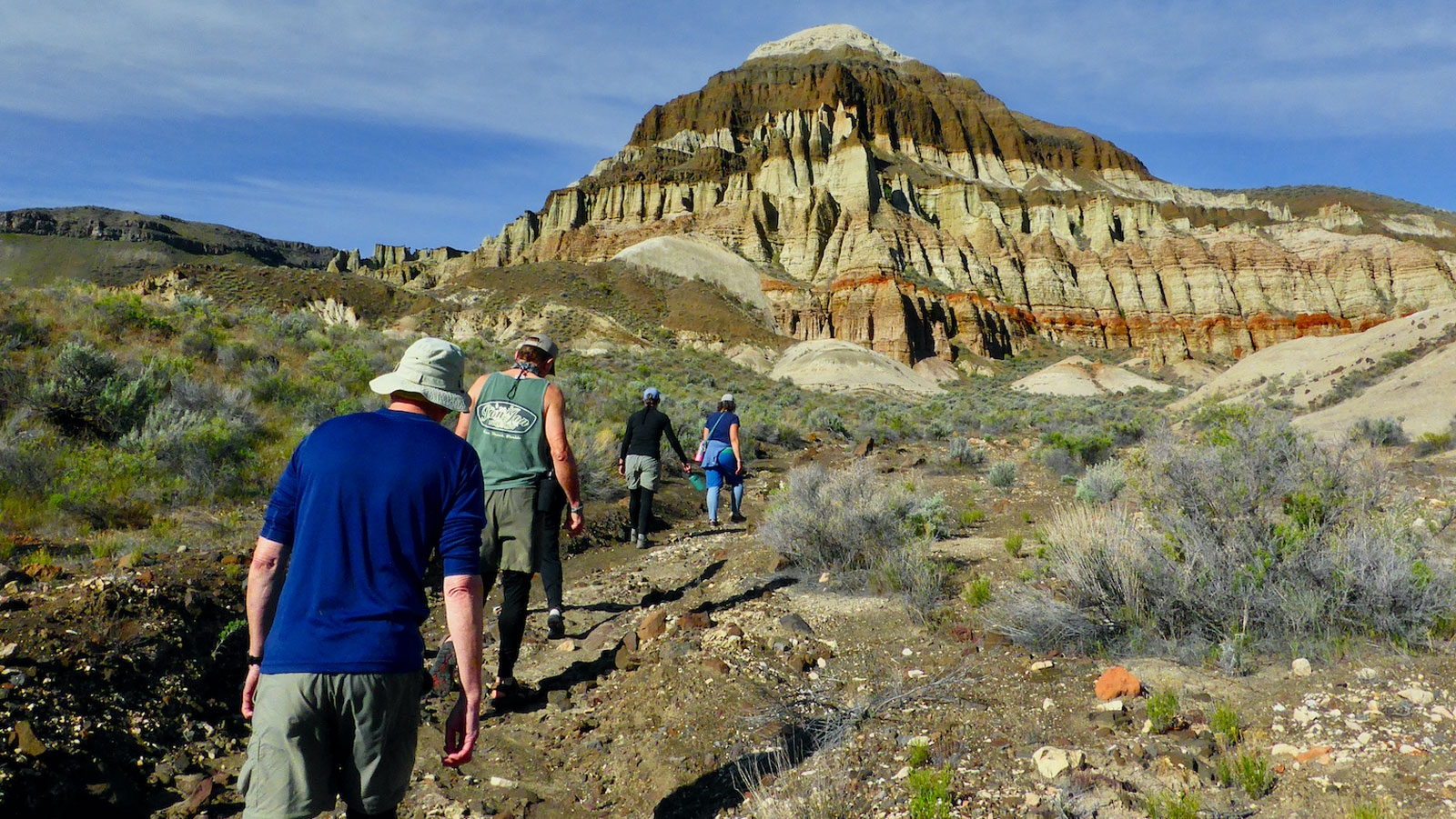
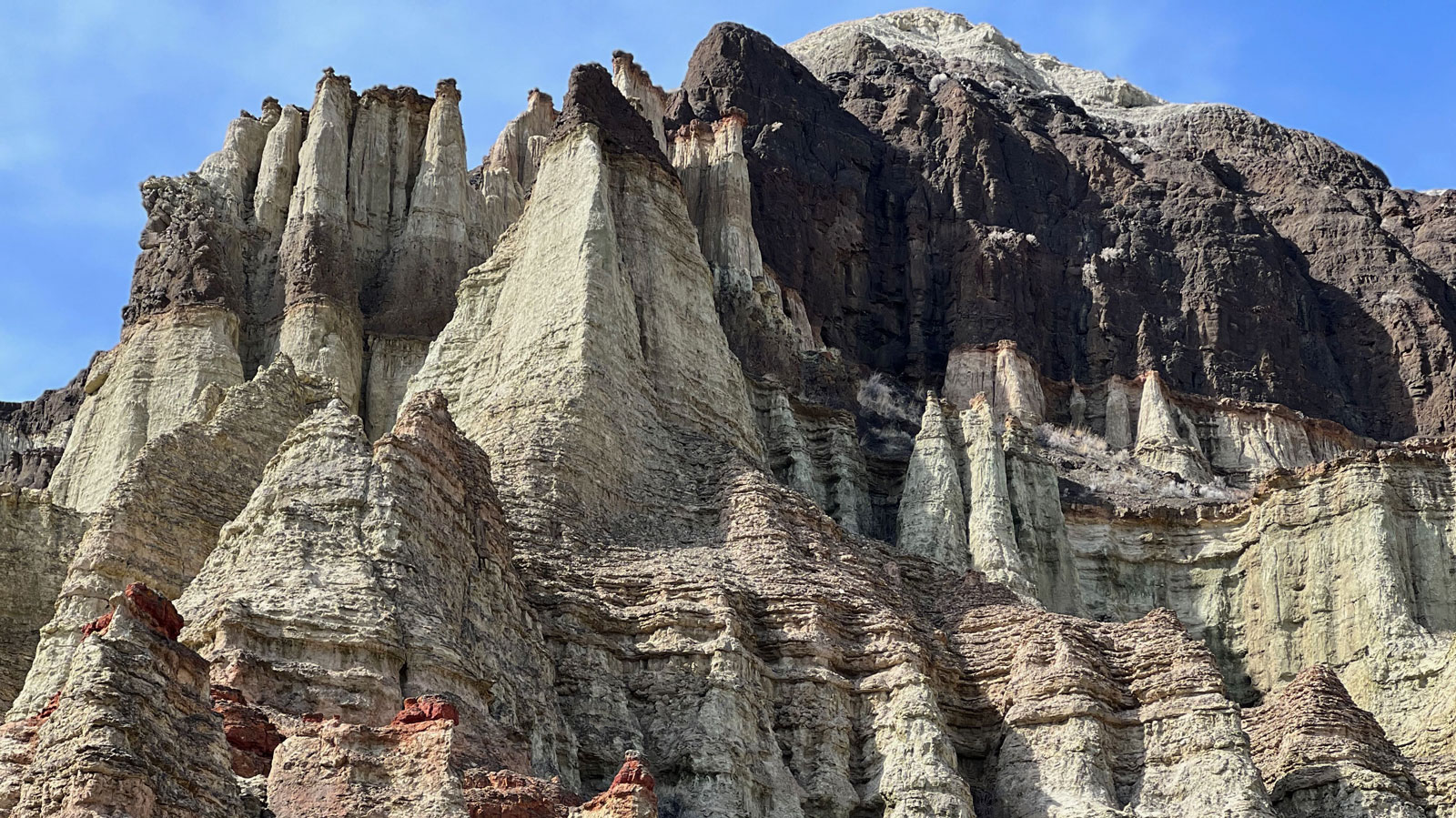
Though the hard rhyolites and basalts typify most of the Owyhee Canyonlands, there is one special set of canyons that expose an even more violent episode in this story: Leslie Gulch and the Honeycombs. There, the rocks are composed of all volcanic ash — a rock called tuff. Hundreds of feet thick, yellow to light green welded ash has weathered into ‘tafoni’, yielding indescribable psychedelic patterns. All this tuff is the record of one immense episode of eruptions forming the 10+ mile-wide caldera volcano named Rooster Comb and adds up to around 650 times the amount of ash as the 1980 Mt. St. Helens.
Between the episodes of volcanic lava formations are sedimentary rocks like those exposed at the Pillars of Rome and Chalk Basin that represent times of relative quiet along the Owyhee. An ancient river system drained the geography of domes and basins. These basins collected volcanic sediment and along with them, the remains of ancient animals and plants.
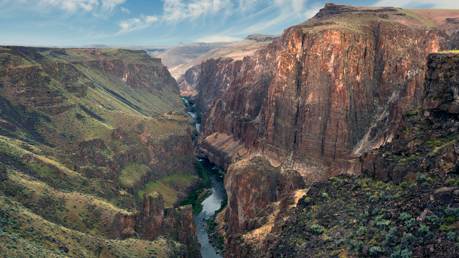
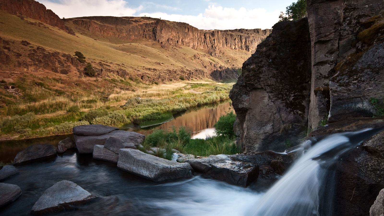
One of the most striking visual features of the Owyhee Canyonlands is, well, the impressive canyons! The formation of the deep canyons that cut across the Owyhee Canyonlands is a result of a combination of slow but continuous geological processes punctuated by catastrophic floods. Erosion is the process of removing and transporting rock, and the Owyhee and its tributaries — such as the South, Middle, and North Forks, or the smaller Jordan and Dry Creeks — have gradually carved out intricate networks of canyons over millions of years.
The meandering shape of the Owyhee as seen in map view is a relic of the past as the river cut down into the hard rock, but slow uplift of the plateau forced the river to ‘entrench’ into this pattern. This slow, gradual process was also aided by dozens of catastrophic flood events forcing millions of gallons of water down the narrow canyon in hours or days, known as “outburst floods.”
During the recent “Ice Age” (Pleistocene Epoch), massive lakes occupied today’s desert basins, such as Alvord and Coyote to the west of the Owyhee. One fateful day, lake Alvord got too full (like a bathtub, there is only so much room in the basin!), spilled over into Coyote, which then spilled into Crooked Creek and into the Owyhee, taking with it soil, plants, probably animals and hundreds of cubic kilometers of rock. Additionally, young lava flows and massive canyon-wall landslides have poured into the canyon from the rims, which created temporary dams. The dams backed up lakes which eventually yielded more, though smaller, outburst floods.
Today, the walls of the canyons expose a rich diversity of rock that further reveals a deeper geologic story.
The varied rock layers found throughout the Owyhee Canyonlands provide a glimpse into the region’s ancient past. Sedimentary rocks, including sandstone and shale, hold clues to past environments, such as ancient rivers, lakes, and marine deposits. Fossilized remains of prehistoric plants and animals, preserved within these sedimentary layers, offer insights into the diverse ecosystems that once thrived in this area.
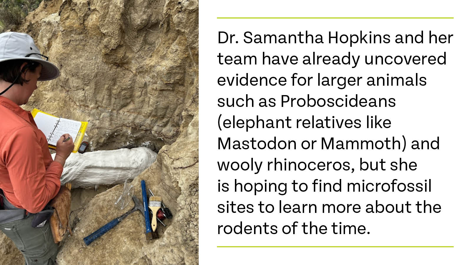
University of Oregon researcher Dr. Samantha Hopkins is building upon previous work by surveying the area for mammal fossils* to help reconstruct the ancient ecology. It turns out the microenvironments preserved in the isolated basins separated by domes provided great habitat and depositional environments, perfect for fossil preservation. Hopkins and her team have already uncovered evidence for larger animals such as Proboscideans (elephant relatives like Mastodon or Mammoth) and wooly rhinoceros, but she is hoping to find microfossil sites to learn more about the rodents of the time.
The Sucker Creek Formation exposed in Succor Creek State Natural Area has preserved an amazing paleobotanical diversity of ancient plants. From alpine shrubs to wetland pines, the preservation and diversity of species here may be one of the most diverse paleobotanical sites in the nation, though more research is required to determine.
Note: It is illegal to collect vertebrate animal fossils from Public Lands in the U.S. Other rocks and minerals have limits. Please consult your local land managers office before embarking on a collection trip. However, hiking and photography are free.
From the Owyhee Canyonlands’ volcanic origins to the sculpting forces of erosion and tectonic activity, this Oregon treasure offers a captivating journey through time that can allow us to gain a deeper appreciation for the dynamic and ever-changing nature of our planet’s geology. Permanently protecting the Owyhee Canyonlands will ensure that future generations can continue to marvel at its geological wonders and so much more.
The Owyhee Canyonlands, one of Oregon's greatest treasures, should be permanently protected to secure its future for generations to come.
For additional information on the “Geology of the Owyhee” check out this presentation from the Friends of the Owyhee”.
Conservation Advocate, Environment Oregon Research & Policy Center
As the Conservation Advocate for Environment Oregon, Justin runs our campaign to Protect Owyhee Canyonlands. Justin has worked on campaigns to protect the Roadless Area Conservation Rule, clean up superfund sites along the Willamette River and promote solar energy in Oregon. In recent years, he was part of the Public Interest Network's Creative and Editorial team where he developed campaign logos and materials connected to dozens of campaigns, turned deep-dive research into digestible interactive features for our websites, and created myriad tools for campaigns to help win real results for the environment and the public interest. Justin lives in Portland with his wife and children where they regularly explore the diversity that Oregon's environment has to offer: From the coast to the high desert and the many amazing rivers, lakes, forests and mountains in between.
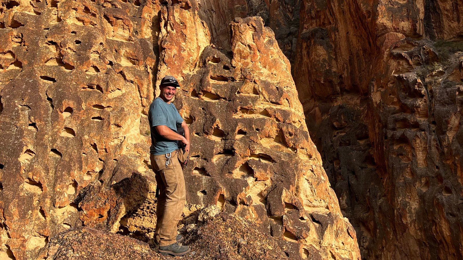
Conservation Geologist, Lane Community College
Sammy considers himself a conservation geologist, employing geologic field methods for the sake of conservation. He spent his Masters degree untangling the structural geology of the Amargosa Chaos in Death Valley, then spent time deciphering rocks in Montana and Wisconsin. In 2015, he set his sights on the Owyhee and has been a Friend ever since. He instructs geology classes at Lane Community College and a field geology class in the Owyhee for University of Oregon.